精選作品Portfolio
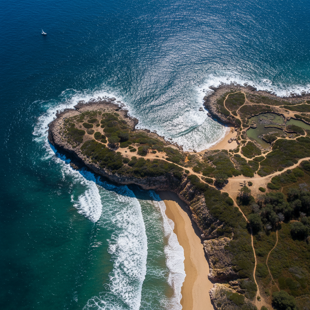
捕捉世界最壯麗的空中視角Capturing the world's most magnificent aerial views
專業無人機服務,為您的事業開創全新空中視野Professional drone services opening new aerial horizons for your business
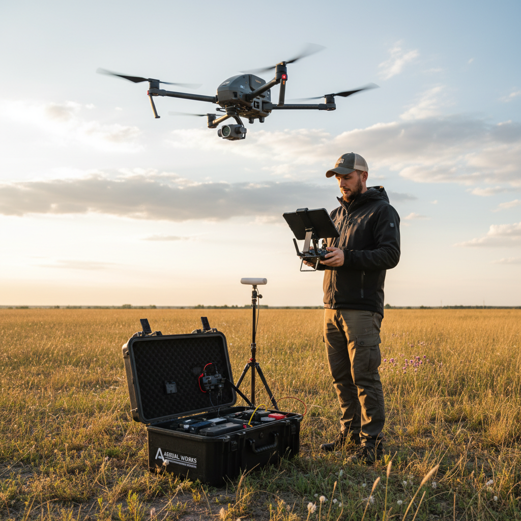
免費諮詢報價Request Free Quote從空拍到農業,提供全方位的無人機解決方案Comprehensive drone solutions from aerial photography to agriculture
4K 超高畫質空拍,婚禮、活動、不動產、廣告片製作4K ultra-HD aerial shots for weddings, events, real estate & commercials
精準 3D 建模、正射影像、地形圖製作,工程與建築必備Precision 3D modeling, orthophotos & topographic maps for engineering
太陽能板、電塔、橋樑、建築外牆無人機安全巡檢Solar panels, towers, bridges & building facade drone inspections
精準施藥、作物監測、NDVI 植被分析,智慧農業好幫手Precision spraying, crop monitoring & NDVI vegetation analysis
捕捉世界最壯麗的空中視角Capturing the world's most magnificent aerial views
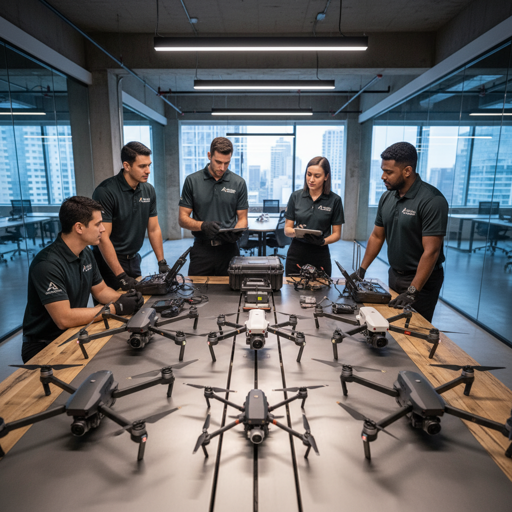
翔天科技由一群熱愛飛行與技術的專業人士組成。團隊成員皆持有民航局核發的無人機操作證照,擁有豐富的飛行經驗與專業知識,確保每次任務安全、高效完成。DroneSky is composed of professionals passionate about flight and technology. All team members hold CAA drone operation licenses with extensive flight experience, ensuring every mission is completed safely and efficiently.
告訴我們您的需求,24 小時內回覆Tell us your needs, we'll respond within 24 hours